The Clutha River is Aotearoa’s largest river (by discharge). It is a lifeline for communities in the dry Central Otago region, providing potable water and crop irrigation, with tourists marveling at its dark blue to turquoise water.
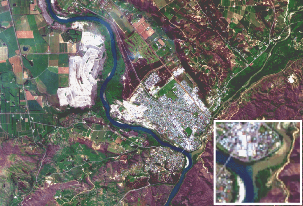
Snowmelt and recent rains have caused changes to the colour of rivers in Central Otago, as shown in the satellite images presented here.
3 November 2018
On Saturday, 3 November the Clutha appeared dark blue (above), whereas by the 13th is was more like turquoise (below).

13 November 2018
The Manuherikia River flows into the Clutha and is brown from silt run-off within its catchment. The confluence of the Manuherikia and Clutha rivers at Alexandra is marked by a sharp contrast in colours, but not much effect on the downstream colour of the Clutha.

23 November 2018
On Friday, 23 November (the next occasion the Sentinel-2B satellite passed overhead) much of Central Otago was covered in clouds, but luckily there was a gap in the clouds through which the confluence appears (left). Here, the much-increased flow of the Manuherikia is obvious from its penetration into the Clutha, and downstream the entire Clutha runs brown due to the mud carried by its tributary.
The discoloration of the Clutha downstream of Alexandra demonstrates the connective power of water – from the high country down to the lowlands, estuaries and coastal waters.
We reviewed images from when Sentinel-2B passed overhead on 28 November and could see clearly that the discolouration from the Manuherikia discharge had dissipated.

10 November 2018
Clutha River sediment discharge emptying into the Pacific Ocean 75 kilometres south west of Dunedin.
The Clutha River is Aotearoa’s largest river (by discharge). It is a lifeline for communities in the dry Central Otago region, providing potable water and crop irrigation, with tourists marveling at its dark blue to turquoise water.
Snowmelt and recent rains have caused changes to the colour of rivers in Central Otago, as shown in the satellite images presented here.
3 November 2018
On Saturday, 3 November the Clutha appeared dark blue (above), whereas by the 13th is was more like turquoise (below).
13 November 2018
The Manuherikia River flows into the Clutha and is brown from silt run-off within its catchment. The confluence of the Manuherikia and Clutha rivers at Alexandra is marked by a sharp contrast in colours, but not much effect on the downstream colour of the Clutha.
23 November 2018
On Friday, 23 November (the next occasion the Sentinel-2B satellite passed overhead) much of Central Otago was covered in clouds, but luckily there was a gap in the clouds through which the confluence appears (left). Here, the much-increased flow of the Manuherikia is obvious from its penetration into the Clutha, and downstream the entire Clutha runs brown due to the mud carried by its tributary.
The discoloration of the Clutha downstream of Alexandra demonstrates the connective power of water – from the high country down to the lowlands, estuaries and coastal waters.
We reviewed images from when Sentinel-2B passed overhead on 28 November and could see clearly that the discolouration from the Manuherikia discharge had dissipated.
10 November 2018
Clutha River sediment discharge emptying into the Pacific Ocean 75 kilometres south west of Dunedin.
Xerra Earth Observation Institute
©2023 xerra.nz
Xerra is a trademark of
Xerra Earth Observation
Institute Limited
Xerra Earth Observation Institute
©2023 xerra.nz
Xerra is a trademark of
Xerra Earth Observation
Institute Limited
Xerra Earth Observation Institute
©2023 xerra.nz
Xerra is a trademark of
Xerra Earth Observation
Institute Limited